


The Highland Archive Service holds a comprehensive set of maps: Ordnance Survey 1st and 2nd editions, Inland Revenue, National Grid and other Highland maps which have been deposited with us.
Date and location coverage
All four of our archive centres hold maps. These include:
- 1st edition Ordnance Survey – 1843-1882 (6″) and 1855-1882 (25″).
- 2nd edition Ordnance Survey – 1892-1907 (6″ and 25″).
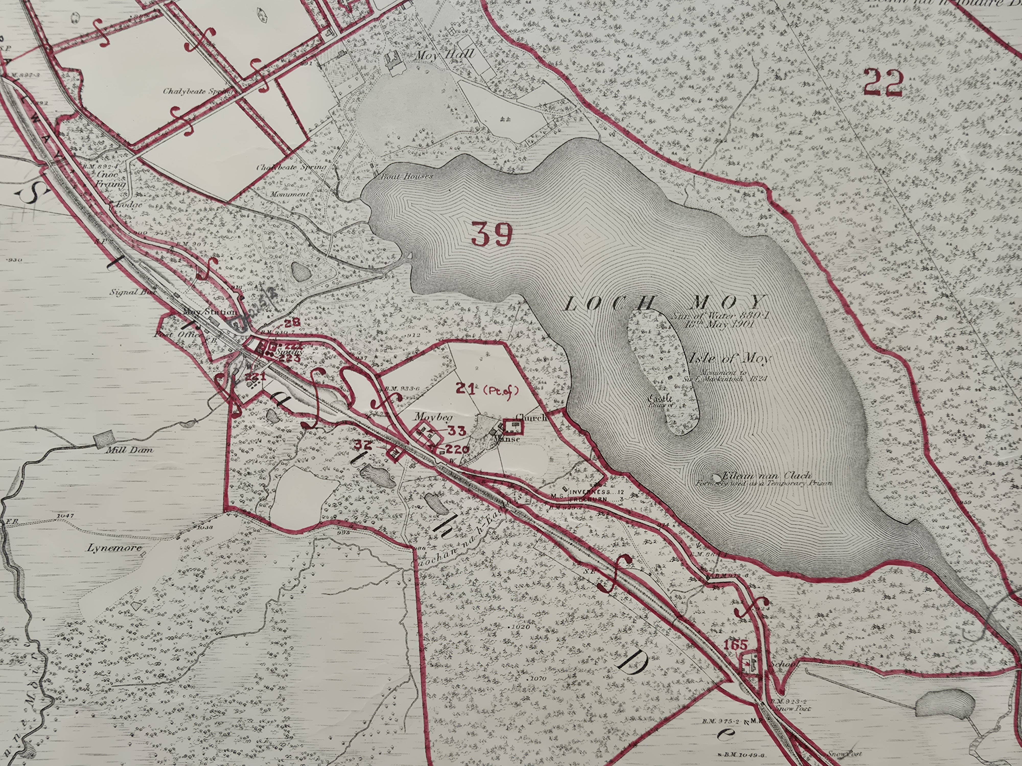
- Inland Revenue – based on the 2nd edition and marked to denote land/property ownership boundaries for the Finance Act 1910.
- National Grid – 1960s
- Other deposited maps – various dates
What can these records be used for?
Maps have a wide variety of uses and are of interest to many people. They can be used:
- to see where an ancestor lived
- to learn how an area has changed or developed
- to locate a building
- to gain evidence in a boundary dispute
- to find features in the landscape which no longer exist
- to find sites of archaeological and historical importance
- to prove where a building once stood
Access and restrictions
All maps are open to view.
Copies and photography
Photocopies and photography of Ordnance Survey, Inland Revenue and National Grid maps is permitted. Individual deposited maps may be subject to restrictions and staff will be able to advise. Charges may apply.
What next?
To find out what maps each of our offices hold please contact us.