


Libraries
Search for books & more
Search the whole Highland Library Service for books, CDs, e-books and more
Advanced Search
your account
Log in to your library account manage your loans, reserve books, and access a wide range of digital resources across Highland libraries.
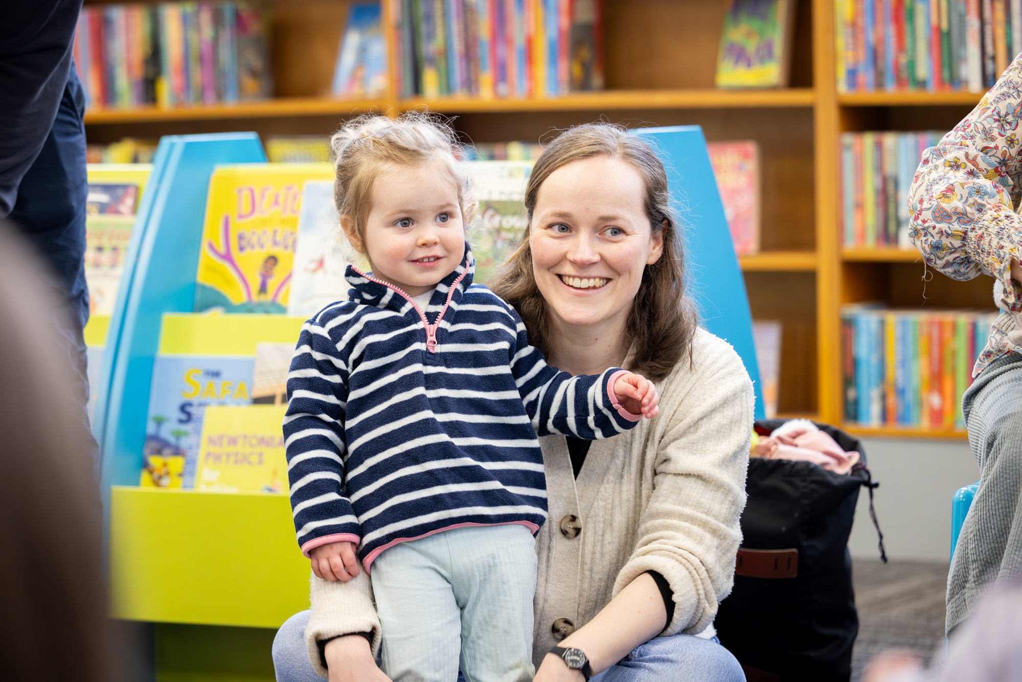
Log inJoin in for Bookbug sessions at your local library.
Our Services
Our libraries offer everything from books and digital downloads to reference collections, events, and community programmes, each designed to support learning, creativity, and wellbeing. Whether you're studying or looking for activities to get involved in, we're here to help you get the most out of your library visit.
Young volunteers helping out in their library.
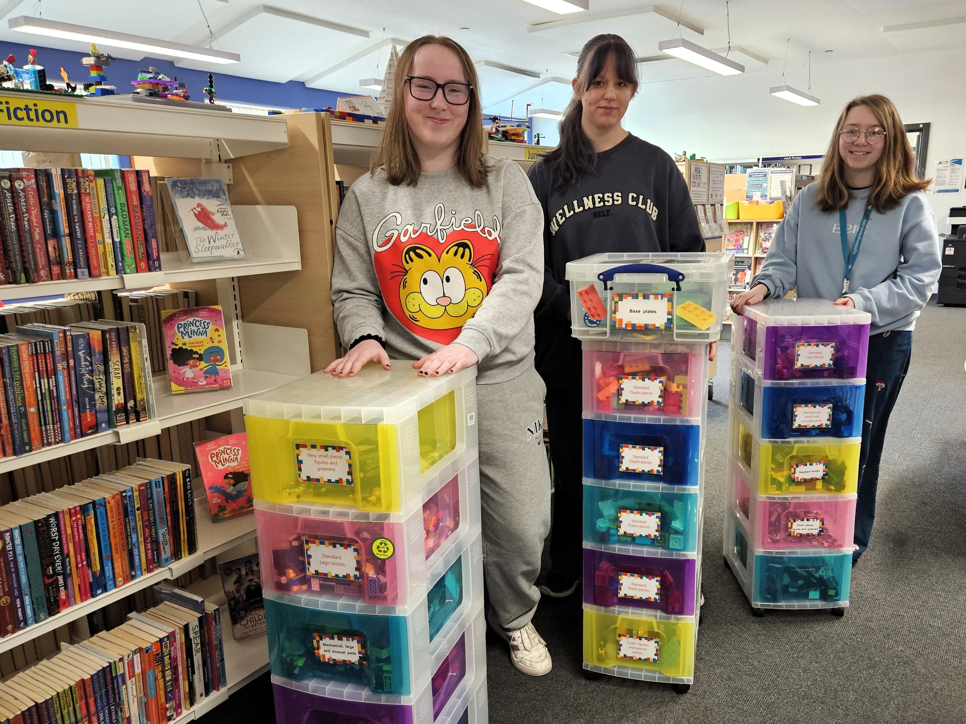
Get involved
There are many ways to get involved with your local library. From volunteering and reading challenges to writing competitions and family events, we offer opportunities for people of all ages to participate, create, and connect with their community. Your involvement helps our libraries thrive.
Donate to our Libraries
Make a donation to gift children's or adult's books to your local library on behalf of someone special. Each book will be inscribed with their name and they will be recognised on our Donor Wall of Fame.
Policies and Information
Explore all the key policies, guidelines, and essential information for using High Life Highland Libraries
Learn more